FOR CENTURIES THE HUMBER ESTUARY HAS BEEN A BARRIER TO TRADE AND DEVELOPMENT BETWEEN THE TWO
BANKS.
Local interests have long campaigned for over a hundred years for the construction of a bridge or tunnel across. There were ferries across the Estuary, but the route by road involved going to Goole, which is 29 miles from Hull and 53 miles from Grimsby.
The Humber Bridge would connect the two banks, enabling the region known as Humberside to realise its potential as an area ripe for industrial and commercial development. Distances between towns in the new county would be reduced by as much as 50 miles and, with its approach roads, the Humber Bridge would form part of an integrated road system on both banks of the river connecting East Yorkshire and North Lincolnshire to the national motorway network.
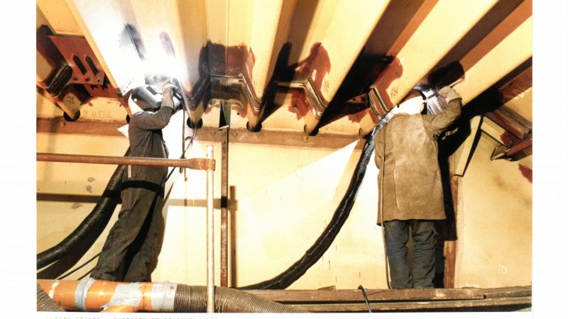
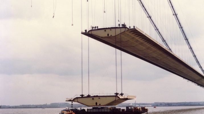
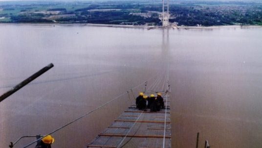
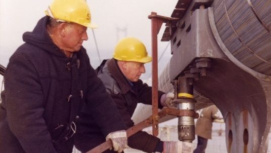
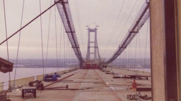
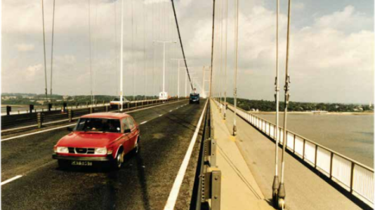
The below timeline shows the construction of the Bridge.
The Humber Bridge opened up both socially and economically, two previously remote and insular areas of England, enabling the area to realise its potential in commercial, industrial, and tourist development.
The Bridge has saved many millions of vehicle miles and many valuable hours of drivers’ and passengers’ time – an important factor not only for the drivers and operators of commercial vehicles but also for tourists and holidaymakers who would have had to travel around the estuary to reach destinations in the region.

